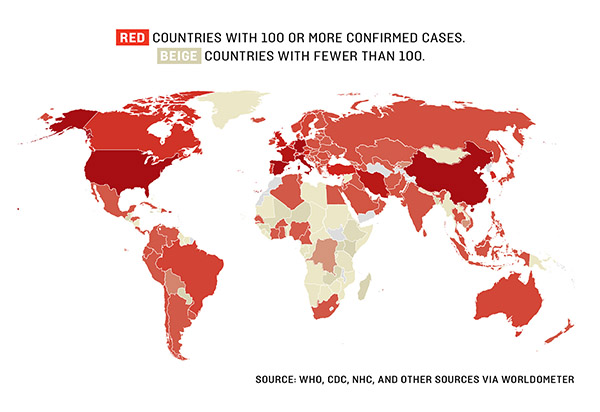
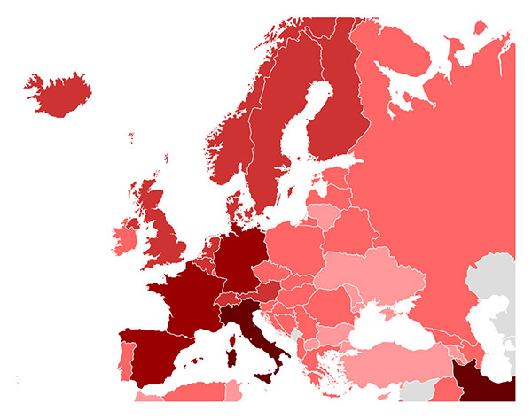
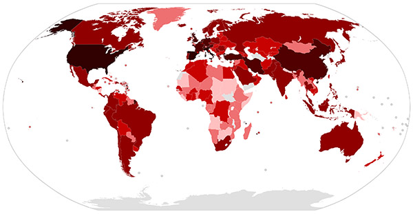
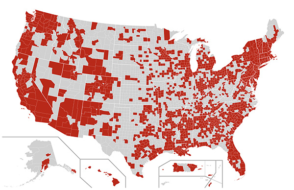
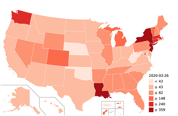
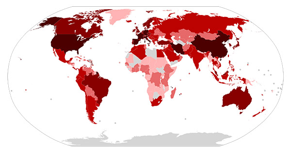
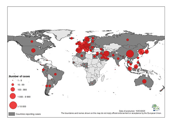
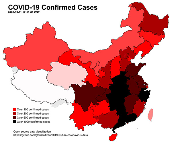
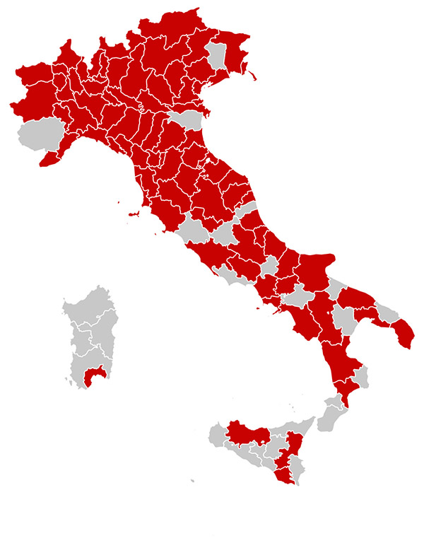
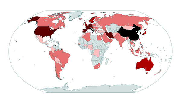
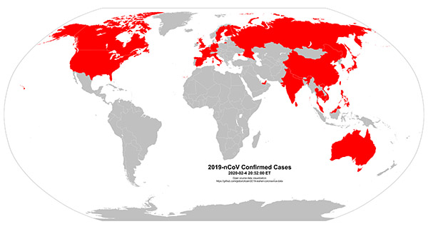
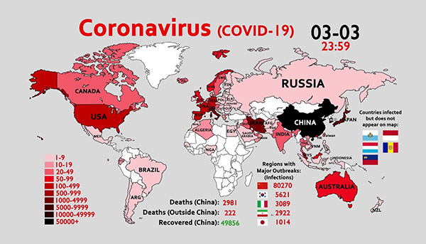
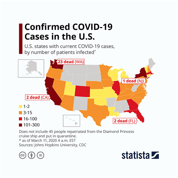
Online interactive map of the distribution of Coronavirus in the World. The number of patients identified with COVID-19 and cured of coronavirus. As well as various maps of Covid 19 with statistics.
The number of patients identified with COVID-19 and cured of coronavirus. Online interactive map of the distribution of Coronavirus in the World. As well as various maps of Covid 19 with statistics.
Maps and statistics of Coronavirus in China, Italy, Iran, South Korea, Spain, Germany, France, USA (US, United States), Switzerland, Denmark, United Kingdom, Norway, Netherlands, Sweden, Belgium, Austria, Japan, Malaysia, Qatar, Canada, Greece, Australia, Czech Republic, Israel, Portugal, Finland, Singapore, Slovenia, Romania, Egypt, Poland, Iraq and other countries.
Other coronavirus maps:
All Tags:
administrative divisions maps administrative maps elevation maps highways maps illustrated maps location maps maps of Africa maps of Albania maps of Argentina maps of Asia maps of Australia maps of Balkans maps of Bulgaria maps of Canada maps of China maps of Costa Rica maps of Croatia maps of Europe maps of France maps of Germany maps of Iceland maps of Iran maps of Italy maps of Manhattan maps of national parks maps of New York maps of Portugal maps of Spain maps of Thailand maps of the World maps of USA maps of Venezuela metro maps old maps panoramic maps physical maps political maps railroads maps regions maps relief maps road maps satellite maps topographical maps tourist maps travel maps
